Williamsburg used to have an H at the end of its name, not to mention dozens of major industries that once made it the tenth wealthiest place in the world. How did Williamsburgh become a haven for New York’s most well-known factories and then become Williamsburg, home to such wildly diverse communities — Hispanic, Hasidic and hipster? Find out how its history connects with whalebones, baseball, beer, and medicine for intestinal worms.
Listen to it for FREE on iTunes or other podcasting services. Or click this link to listen to the show or download it directly from our satellite site.
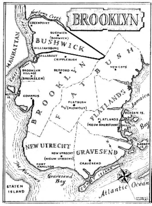
A modern map of the townships of Kings County. Cripplebush is listed here as a settlement in Brooklyn. The dense undergrowth that gave Cripplebush its name stretched well into the jurisdiction of Bushwick, which the Dutch actually called Boswijck.
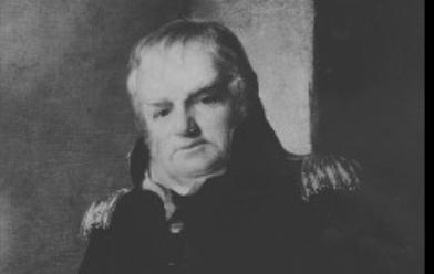
The esteemed Lt Col. Jonathan Williams, who surveyed the land along the Bushwick shore and eventually gave Williamsburg its name. You can also find his handywork at Castle Clinton and Castle Williams (also named after him).
Another father of Williamsburg, David Dunham, can still be found today on a very tiny street near the bridge called Dunham Place. (Forgotten New York has a great look at this odd little side street.)
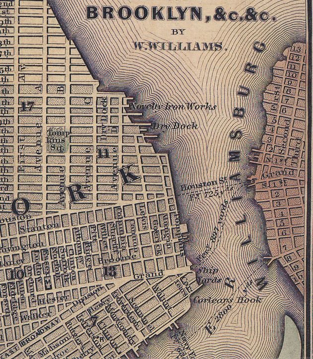
A detail from this mid-19th century map of New York and Brooklyn indicates the two ferry paths across the East River from the Grand Street dock in Williamsburg.
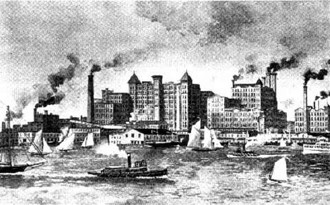
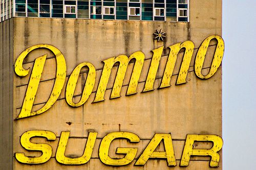
The Williamsburg waterfront during the 1880s. Havemeyer’s sugar refinery became one of the most profitable businesses along the East River. It became Domino Sugar in 1900.
While Havemeyer’s factory, closed in 2004, has been landmarked, its future could include a vast complex of condominiums — but with community opposition and a $1.3 billion dollar price tag, is it viable?
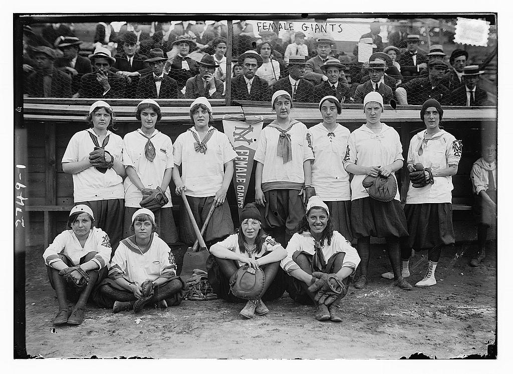
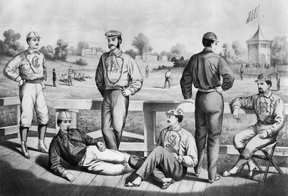
These fancy guys are relaxing after a vigorous game of baseball at the Union Grounds, the first to fence in the playing field and charge spectators. Check out our previous article on this historic place and where you can find its location today.
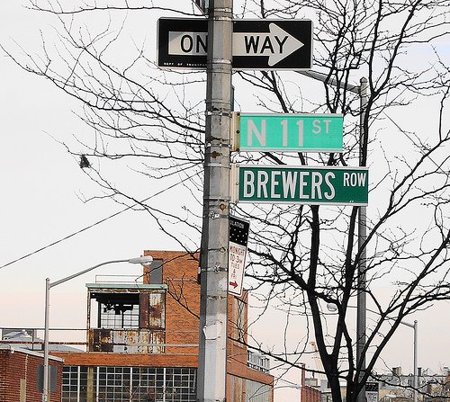
There are no more breweries along Brewer’s Row, but the once grand boulevard of beer makers that stretched from Williamsburg to Bushwick is still recognized on street signs.
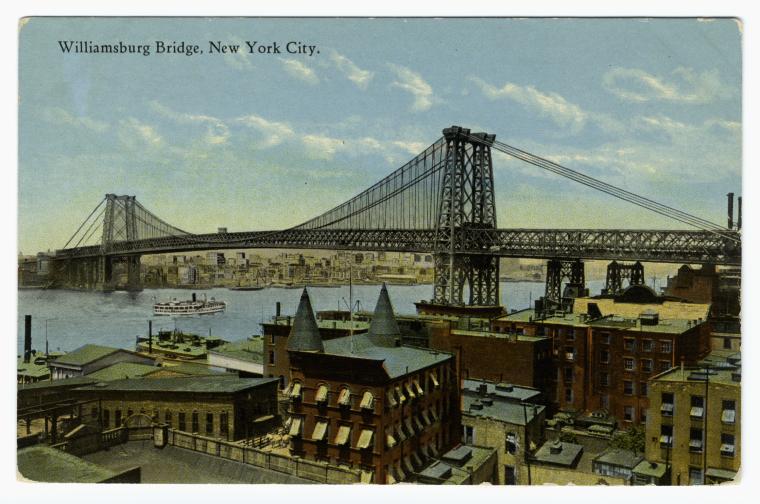
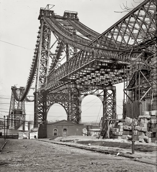
The East River Bridge (today the Williamsburg Bridge) in 1902. It would be opened a year later, opening the neighborhood to thousands of new residents fleeing overcrowded Lower East Side (pic courtesy Shorpy)
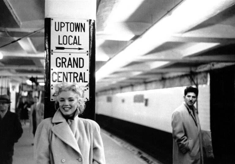
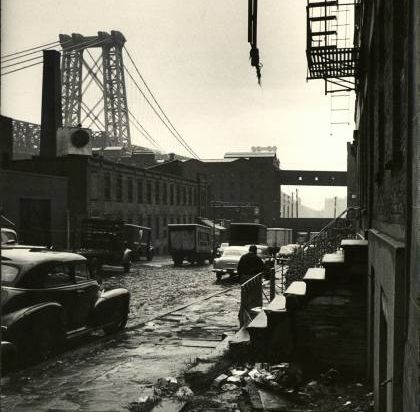
Williamsburg in 1954, not the sunniest place ever. Photo by Alfred Eisenstaedt (LIFE archives)
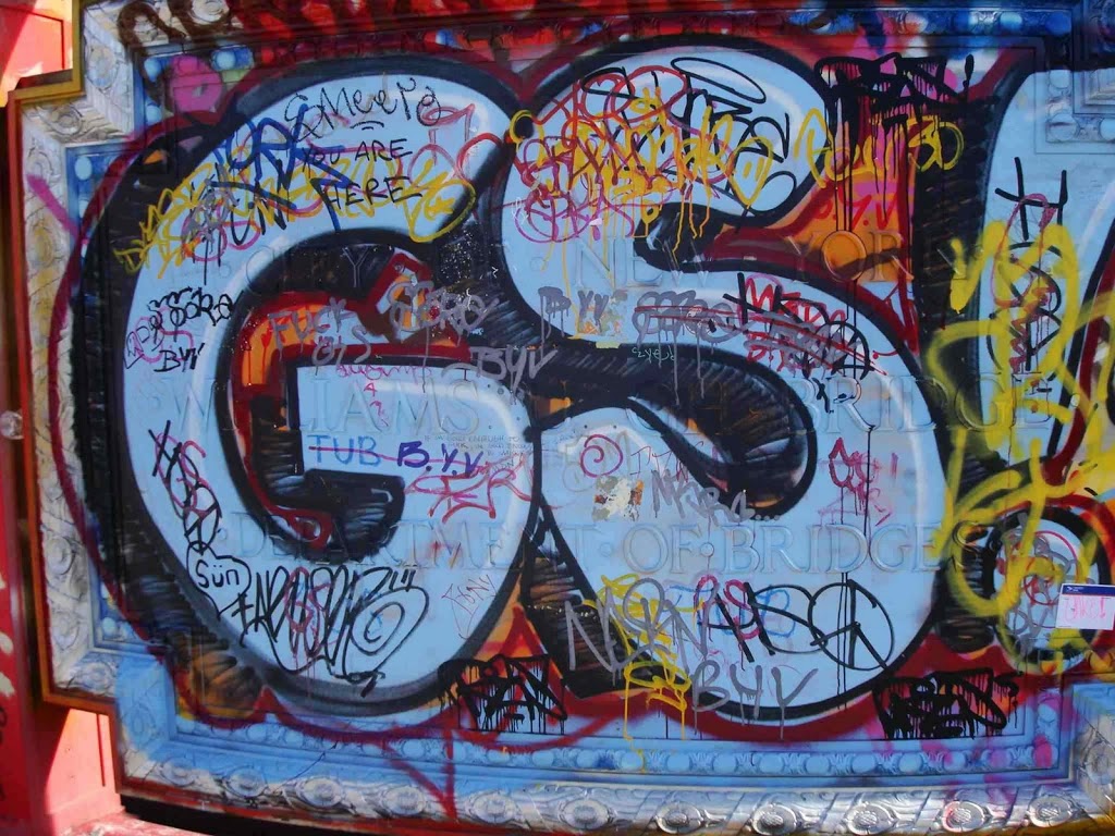
Look really closely at this dedication found at the pedestrian fork on the Williamsburg Bridge. If you scrape away the graffiti, you’ll see Williamsburg with an H on the end. (Click it to get a closer look.)
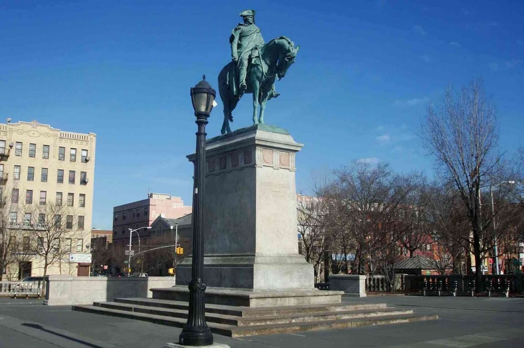
Continental Army Plaza, now overlooking the entrance and exit ramps of the Williamsburg Bridge. An engraving in the sidewalk points towards Valley Forge. The statue and the plaza were installed shortly after the opening of the bridge. So, in fact, this has pretty much always been George’s view.
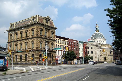
Two gorgeous examples of Williamsburg’s opulent past — the Kings County Savings Bank (built in 1868!) in the foreground, and the George Post’s domed Williamsburgh Savings Bank in the distance. (pic courtesy Flickr)
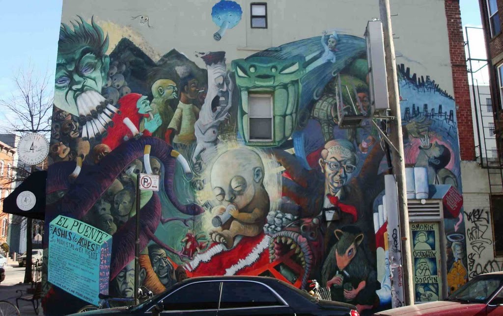
A mural just north of the bridge. Don’t smoke, kids!