PODCAST The Chelsea Piers were once New York City’s portal to the world, a series of long docks along the west side of Manhattan that accommodated some of the most luxurious ocean liners of the early 20th century.
Passenger ocean travel became feasible in the mid 19th century due to innovations in steam transportation, allowing for both recreational voyages for the wealthy and a steep rise in immigration to the United States.
The Chelsea Piers were the finest along Manhattan’s busy waterfront, built by one of New York’s greatest architectural firms as a way to modernize the west side. Both the tragic tales of the Titanic and the Lusitania are also tied to the original Chelsea Piers.
But changes in ocean travel and the financial fortunes of New York left the piers without a purpose by the late 20th century. How did this important site for transatlantic travel transform into one of New York’s leading modern sports complexes?
ALSO: The death of Thirteenth Avenue, an avenue you probably never knew New York City ever had!
__________________________________________________________
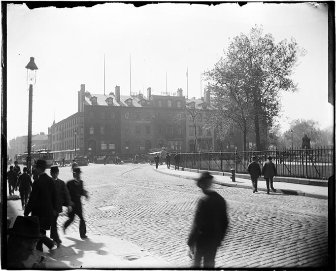
The offices of Steamship Row near Bowling Green and Battery Park. With the rise of ocean travel in the mid 19th century, passengers went to these buildings to make voyage accommodations.
These were later replaced with more lavish offices, many of which are still around in the neighborhood today.
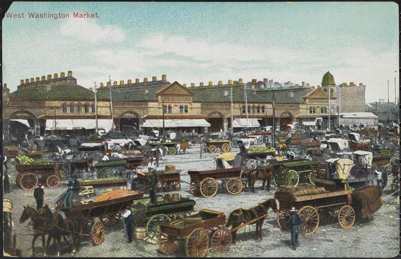
The crazy scene out in front of West Washington Market in 1905. The market was built well before the Chelsea Piers and helped preserve a bit of 13th Avenue when most of that street was eliminated for the Piers’ construction.
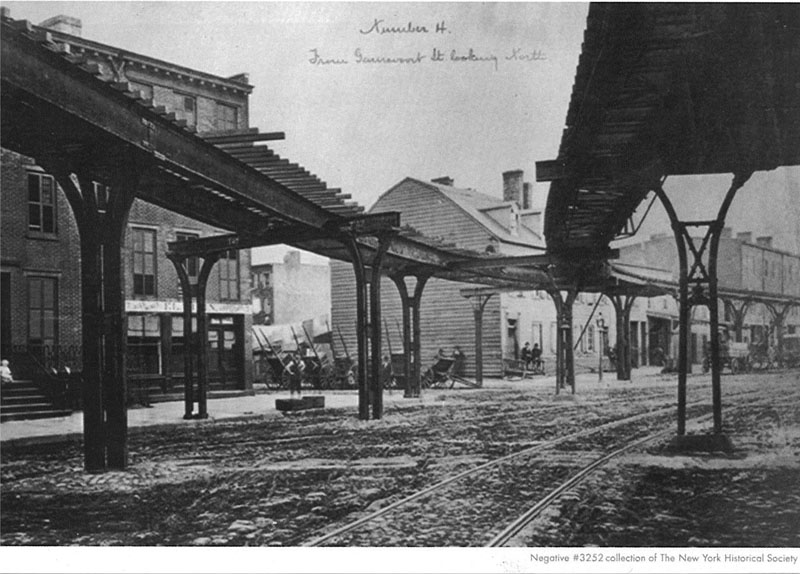
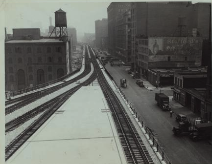
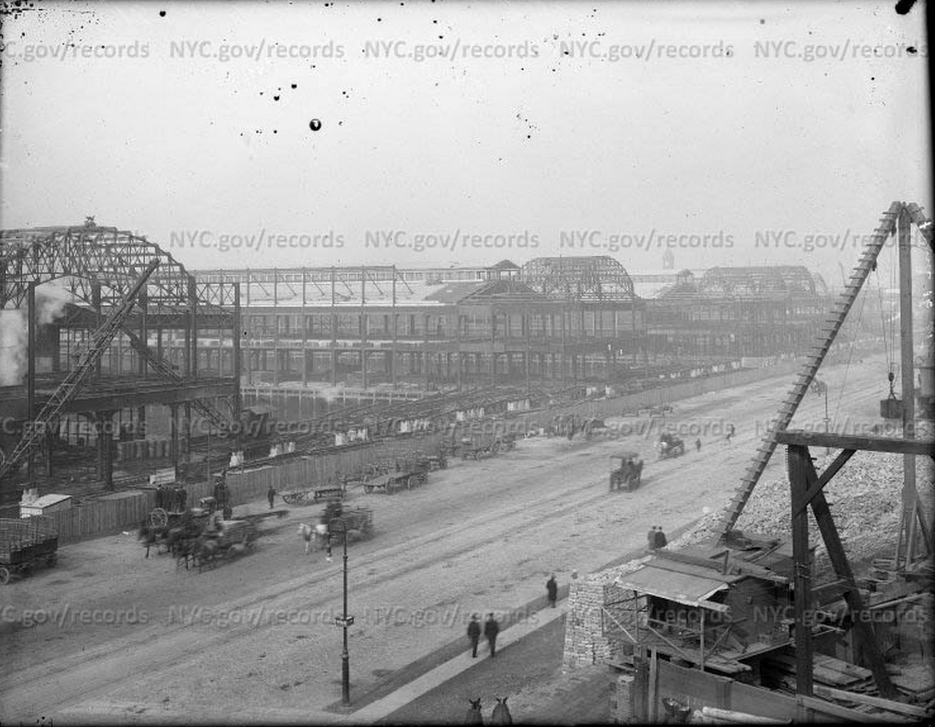
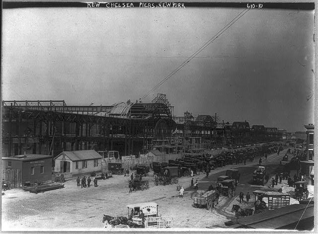
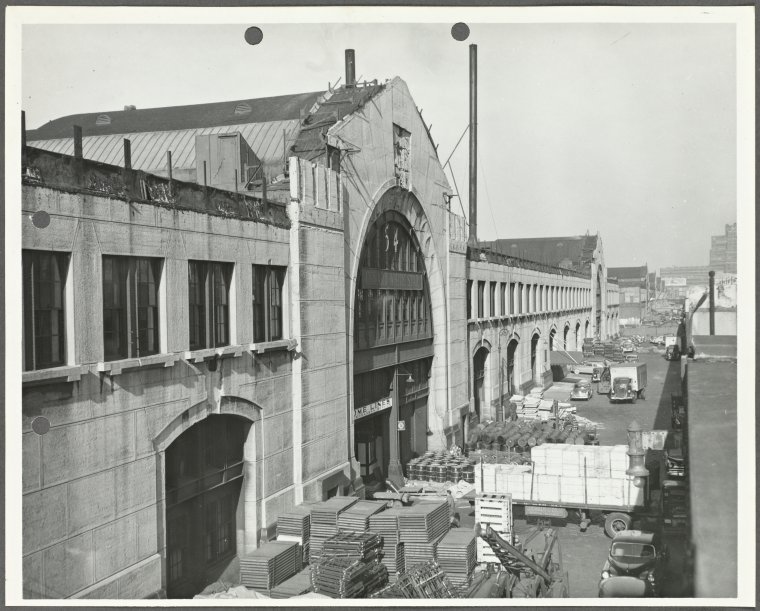
Construction of the Chelsea Piers complex in progress, looking northwest from 16th Street, 1910.
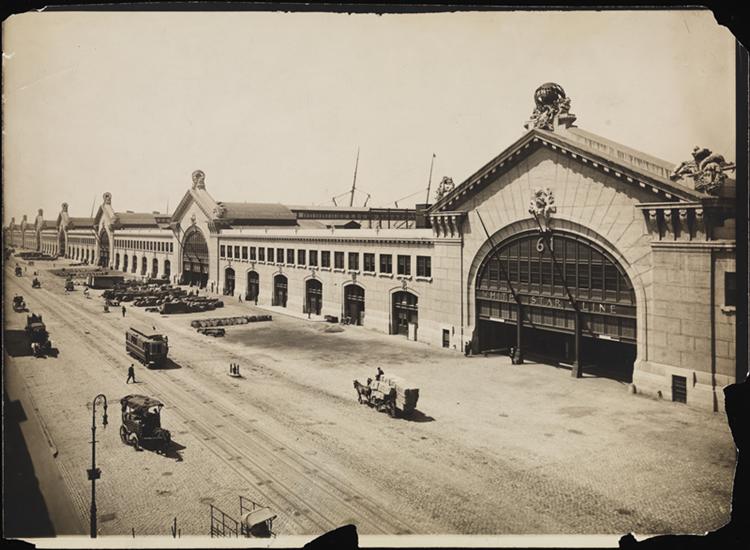
The lavish Chelsea Piers headhouse, designed by Warren and Wetmore of Grand Central Terminal. This picture was taken in 1910 at their completion. It looks very calm on the street in front, a rarity!
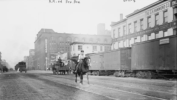
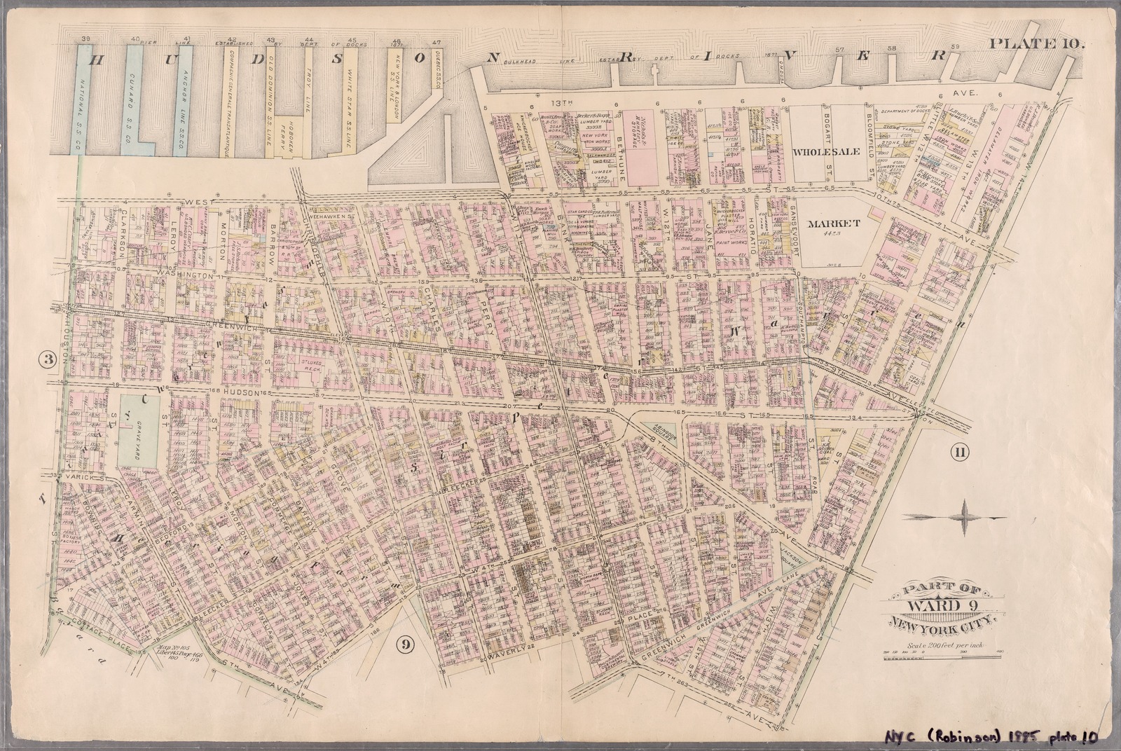
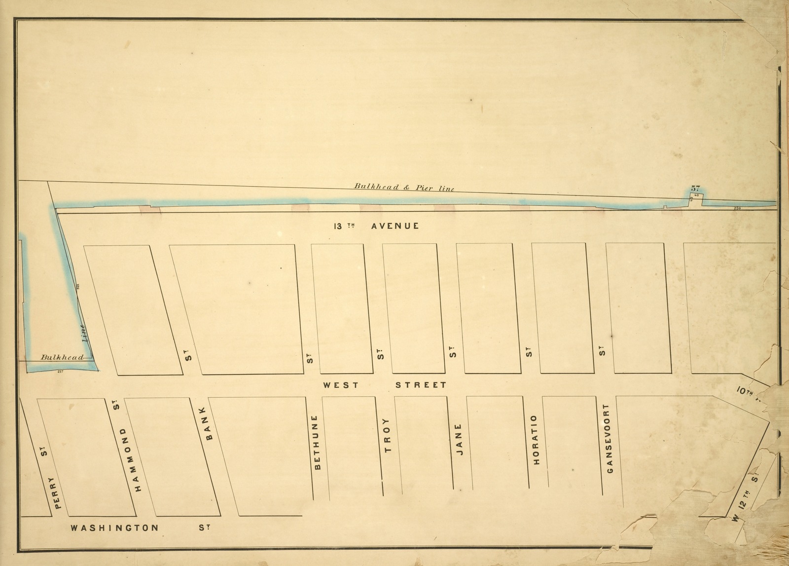
An insurance map from 1885, detailing the streets near the areas of waterfront along West Village and the Meat-Packing District. Note the location of 13th Avenue along the water, running along the top from center to right. Most of this was removed for the construction of the piers.
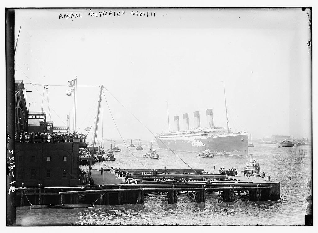
The arrival of the White Star ocean liner Olympic into New York harbor, 1911.
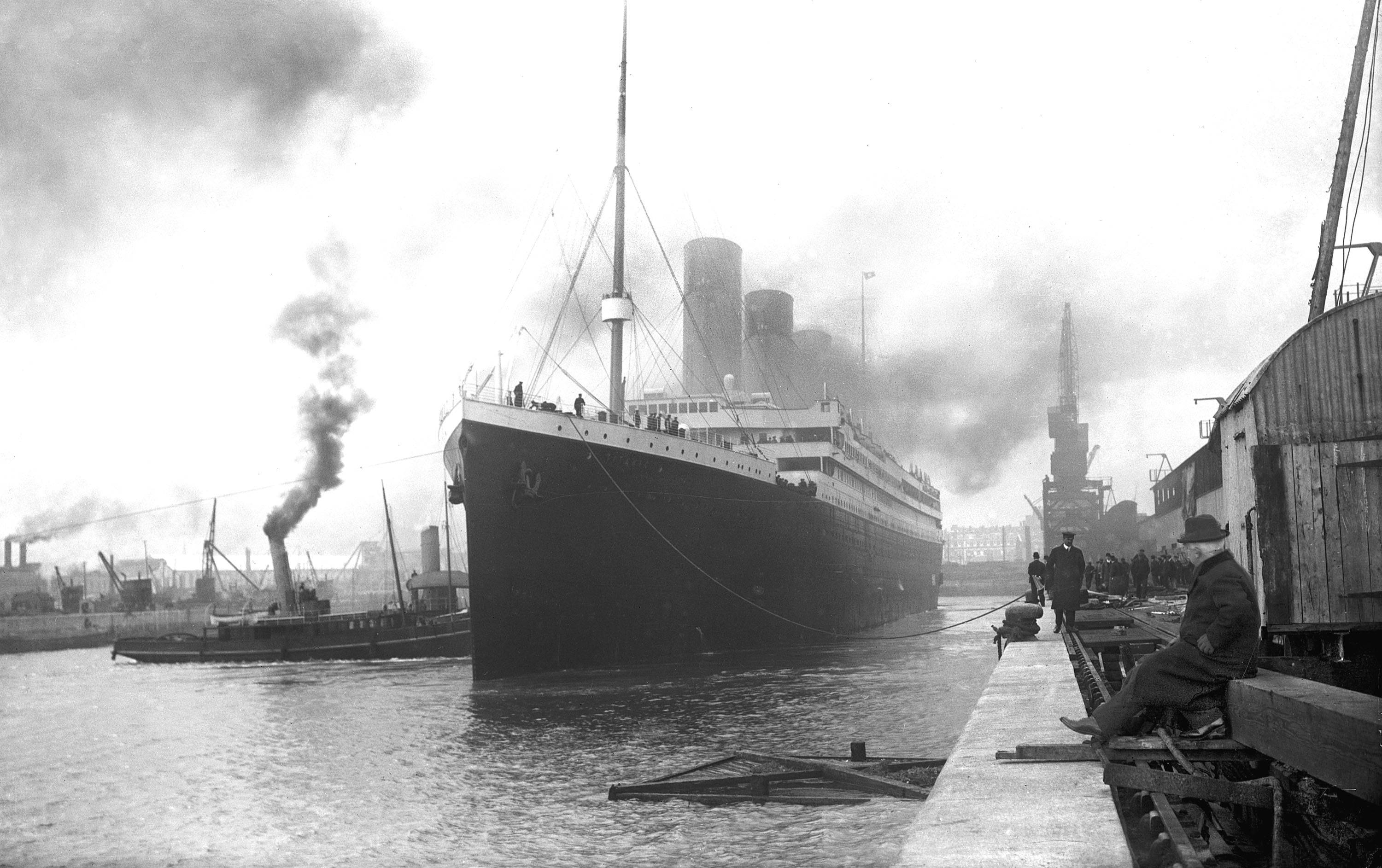
The Titanic on its maiden voyage on April 10, 1912. This was obviously taken from Southhampton where they had much more room for massive ocean vessels!
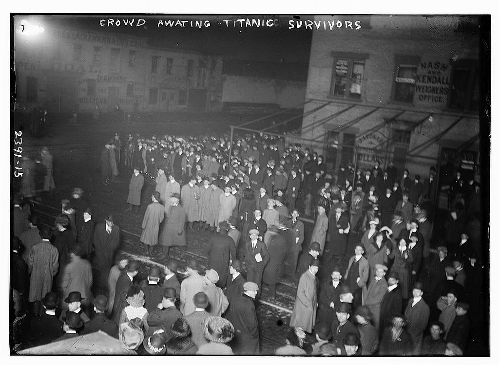
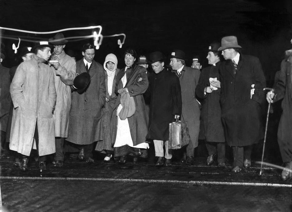
Crowds gather at a location near Chelsea Piers awaiting the survivors of the Titanic disaster.
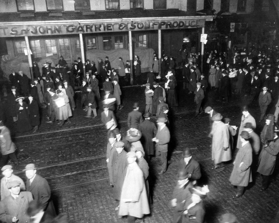
The RMS Carpathia arrives at Pier 54 on April 18, 1912. Reporters scurry to interview survivors of the Titanic.
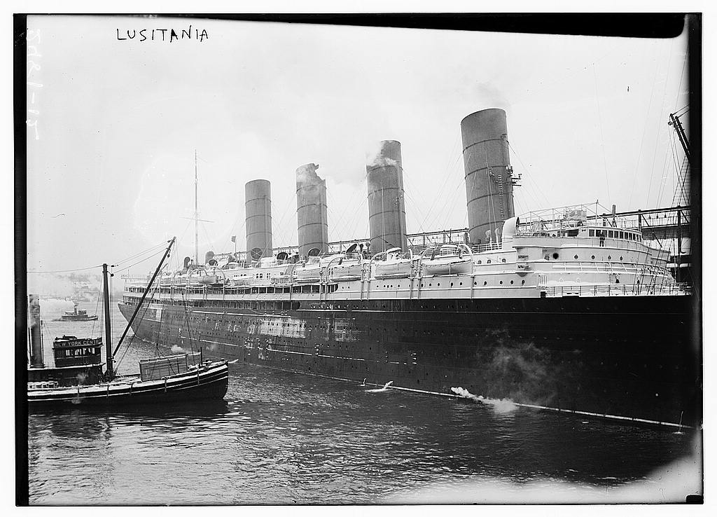
The Lusitania in New York Harbor, and other with the Lusitania at Pier 54 (date unknown but obviously before the Chelsea Piers were completed)
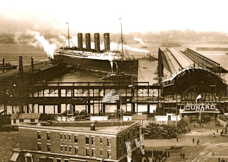
This striking image (cleaned-up photography courtesy of Shorpy) shows the Chelsea Piers in context with the streets of Chelsea in front of it. 1920
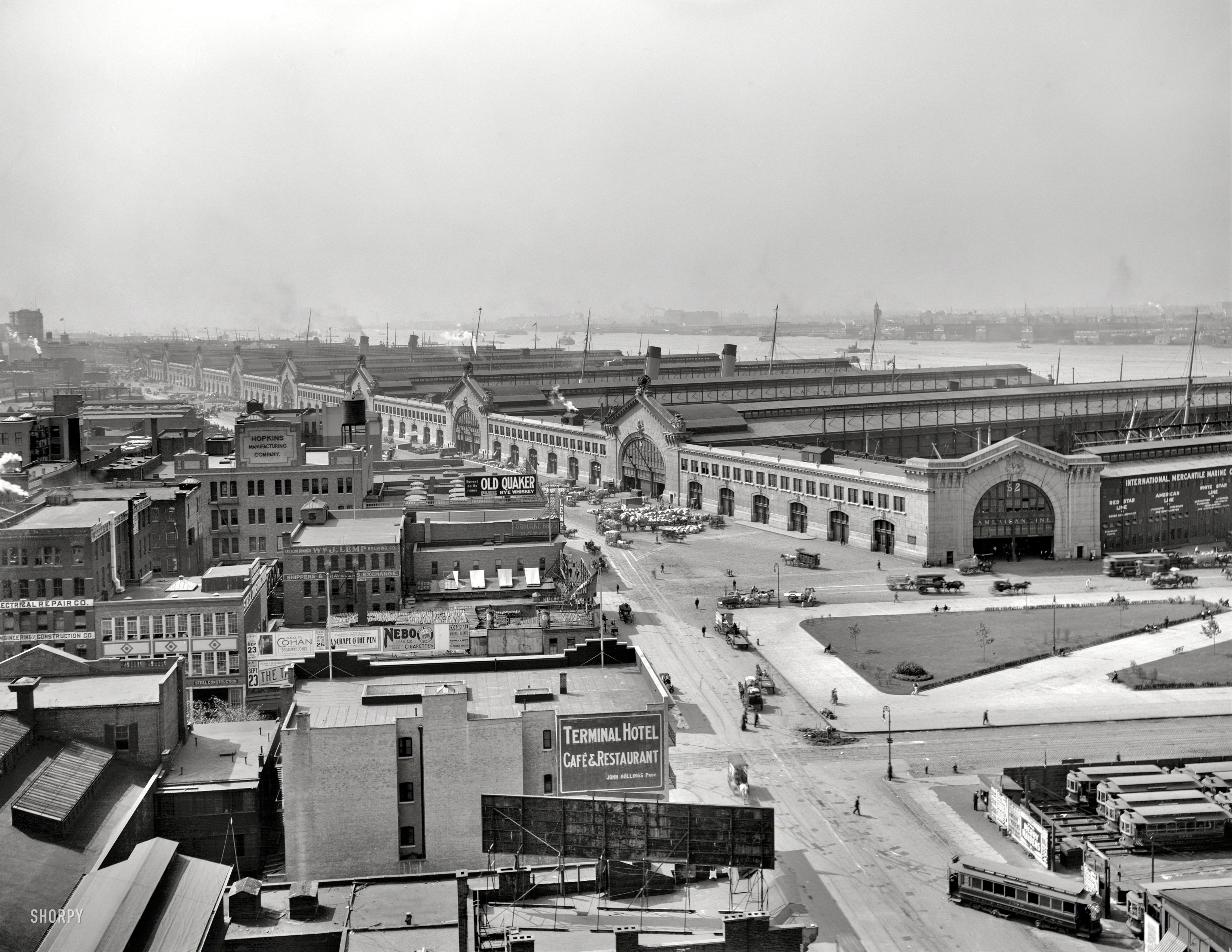
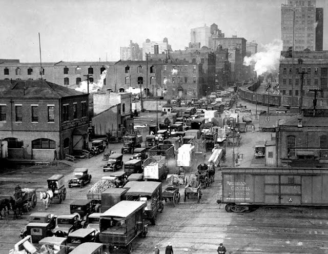
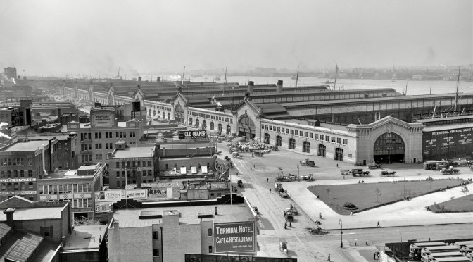
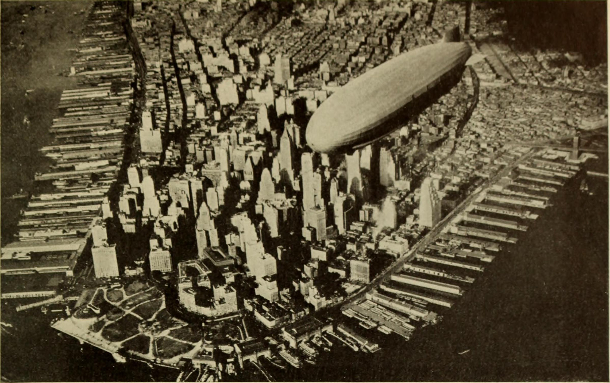
An excellent image of the crazy pier situation in lower Manhattan. This picture is from 1931. Chelsea Piers would be in the upper left-hand corner.
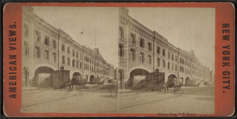
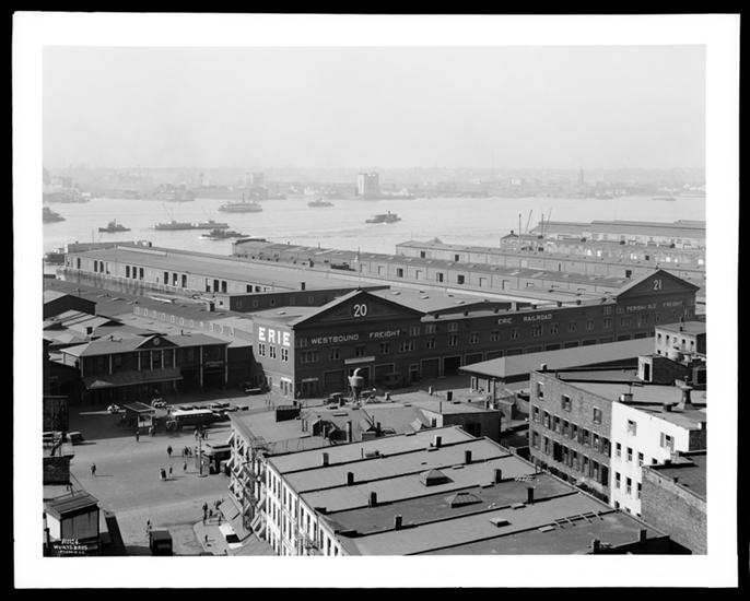
There were of course other pier structures running down the Hudson shoreline, many of them quite imposing such as this one at Pier 20 and 21 for the Erie Railroad Company at the foot of Chambers Street, picture taken in 1930.
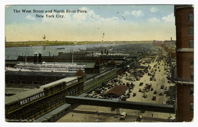
A photomechanical postcard of the piers further south of Chelsea Piers, 1916.
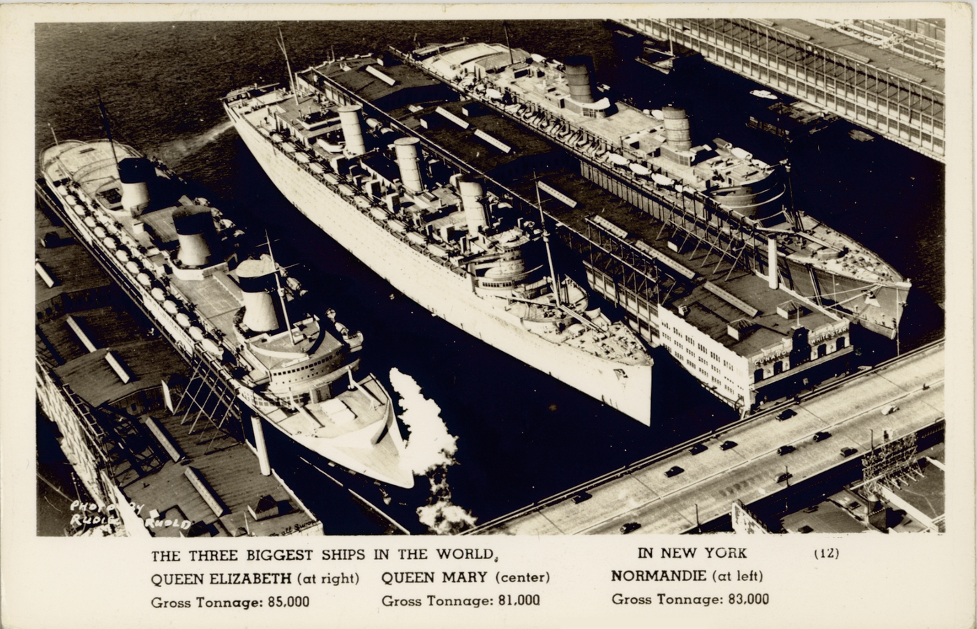
The three largest ships in the world in 1940, all docked in mid-Manhattan, not Chelsea Piers because it could not accommodate their size.
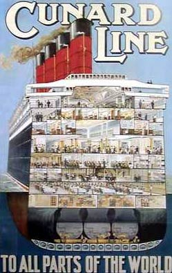
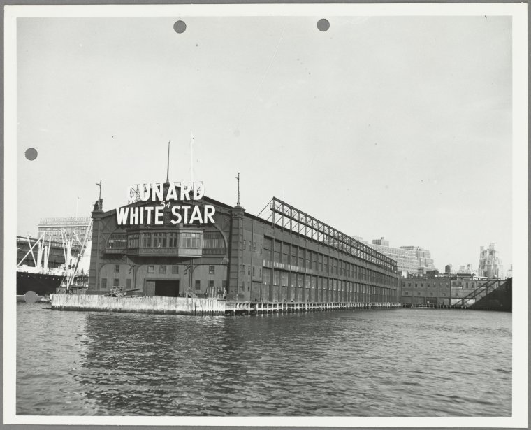
This is what Pier 54 looked like in 1951 after Cunard and White Star merged to become a single transatlantic company.
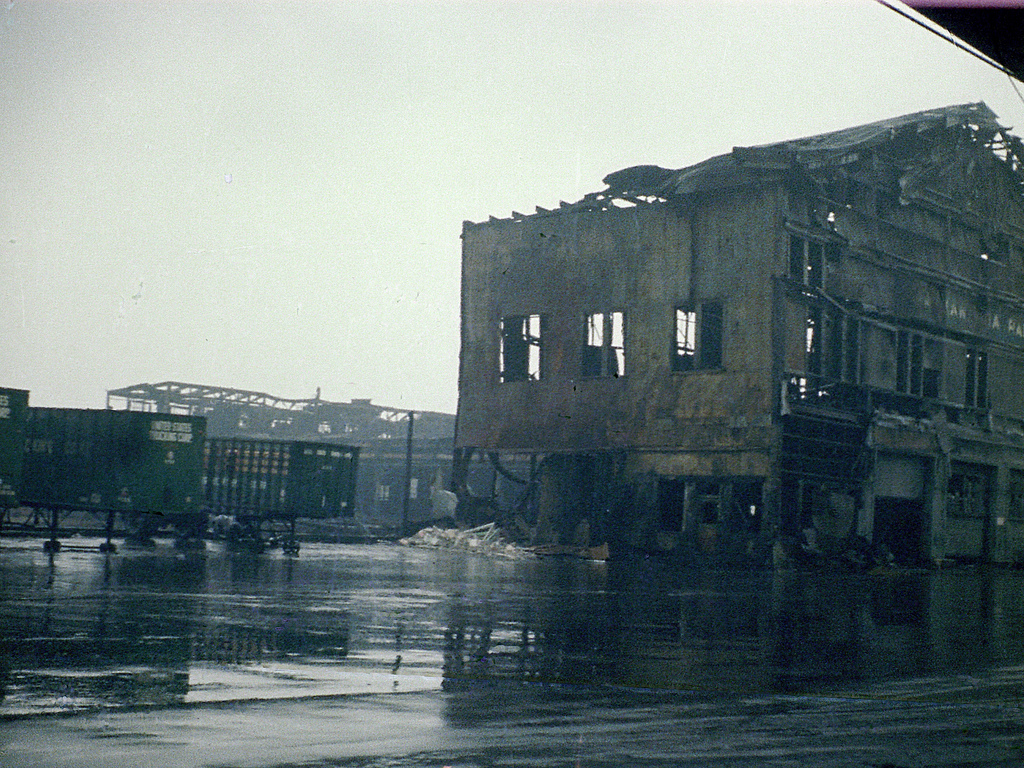
The piers of Washington Market in the 1970s. Most of the pier structures along the water had badly deteriorated by then.
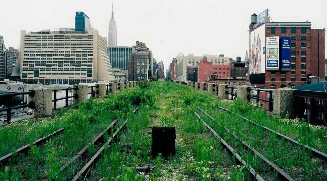
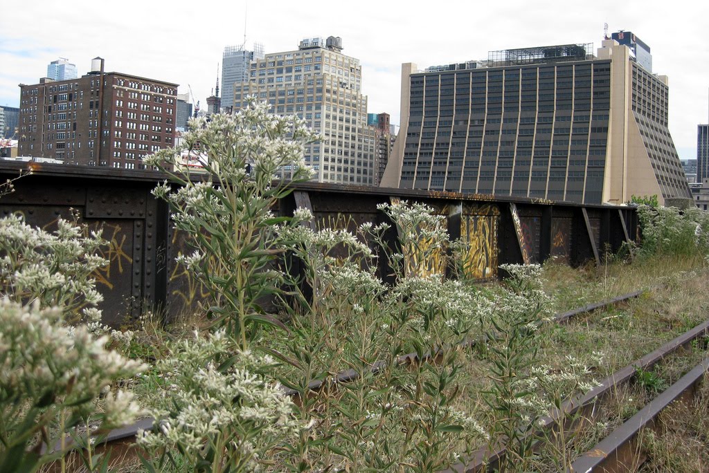
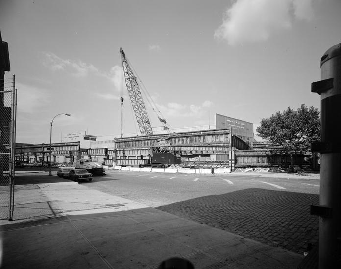
The Elevated West Side Highway being torn down in front of Pier 62. The area looks quite different today. In fact Pier 62 is part of the Hudson River Park system.
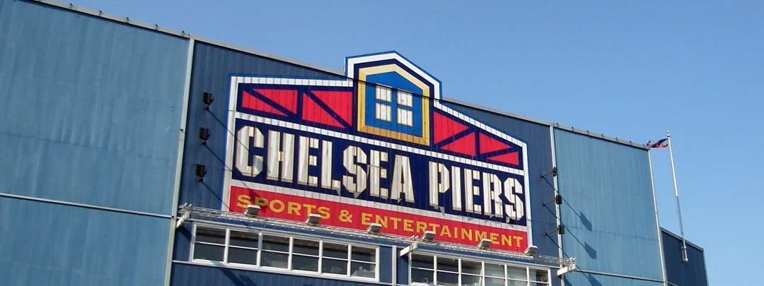
The Chelsea Piers sporting complex was constructed in the 1990s, saving a portion of the original Chelsea Piers from further deterioration. Although I think we can all agree the exterior could be a bit sexier.
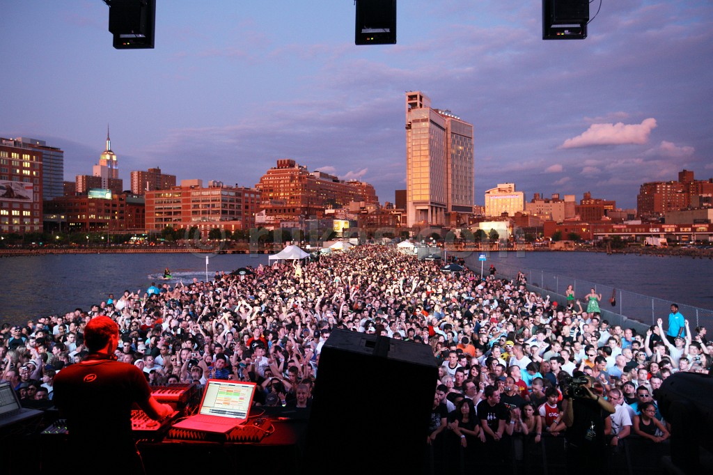
Meanwhile Pier 54 continues to find a variety of new uses. Here’s a dance party deejayed by Paul Van Dyk from 2008.
And finally….
The complete words of Charles Dickens, describing his voyage over on the Cunard steamship Britannia to the United States in 1842 :
“To say that she [the ship] is flung down on her side in the waves, with her masts dipping into them, and that, springing up again, she rolls over on the other side, until a heavy sea strikes her with the noise of a hundred great guns, and hurls her back — that she stops, and staggers, and shivers, as though stunned, and then, with a violent throbbing of her heart, darts onwards like a monster goaded into madness, to be beaten down, and battered, and crushed, and leaped on by the angry sea — that thunder, lightening, hail, and rain, and wind, are all in fierce contention for the pastry — that every plant has its grown, every nail its shriek, and every drop of water in the great ocean its howling voice — is nothing. Â
To say that all is grand, and all appalling and horrible in the last degree is nothing. Words cannot express it. Thoughts cannot convey it. Only a dream can call it up again, in all its fury, rage and passion.“
This is in describing his voyage to the United States. Horrible, to be sure. But given the thousands of people who involuntarily traveled across the Atlantic in the decades earlier, and the wretched conditions they faced, it’s hard to be overly sympathetic to Mr. Dickens’ inconvenience!